20 km | 28 km-effort
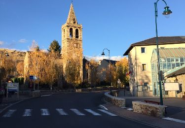
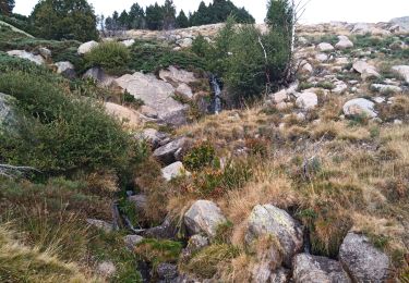
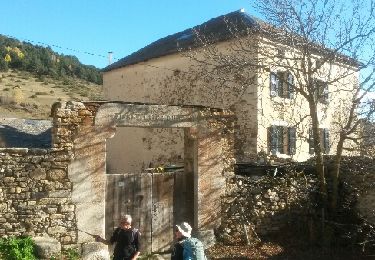
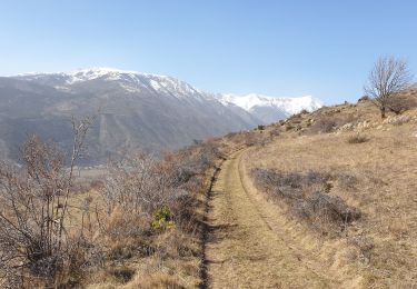
au-dessus de guils
jopa
Gebruiker
Lengte
7,3 km
Max. hoogte
1896 m
Positief hoogteverschil
480 m
Km-Effort
13,7 km
Min. hoogte
1414 m
Negatief hoogteverschil
479 m
Boucle
Ja
Datum van aanmaak :
2017-04-08 00:00:00.0
Laatste wijziging :
2017-04-08 00:00:00.0
2h59
Moeilijkheid : Heel gemakkelijk
Gratisgps-wandelapplicatie
Over ons
Tocht Stappen van 7,3 km beschikbaar op Catalonië, Gerona, Guils de Cerdanya. Deze tocht wordt voorgesteld door jopa.
Beschrijving
Ras
Plaatsbepaling
Land:
Spain
Regio :
Catalonië
Departement/Provincie :
Gerona
Gemeente :
Guils de Cerdanya
Locatie:
Unknown
Vertrek:(Dec)
Vertrek:(UTM)
407593 ; 4700320 (31T) N.
Opmerkingen
Wandeltochten in de omgeving
de Ur vers La Chapelle de Belloc
Stappen
Gemakkelijk
(1)
Ur,
Occitanië,
Pyrénées-Orientales,
France
7h 14min
Ja
Bena
Stappen
Medium
Enveitg,
Occitanië,
Pyrénées-Orientales,
France
11,9 km | 21 km-effort
3h 32min
Neen
ur
Stappen
Heel gemakkelijk
Ur,
Occitanië,
Pyrénées-Orientales,
France
18,5 km | 26 km-effort
7h 5min
Neen
Boucle de Latour-de-Carol
Trail
Medium
Latour-de-Carol,
Occitanië,
Pyrénées-Orientales,
France
8,1 km | 12,2 km-effort
1h 13min
Neen
La Tour de Carol
Stappen
Gemakkelijk
Latour-de-Carol,
Occitanië,
Pyrénées-Orientales,
France
15,1 km | 22 km-effort
4h 10min
Ja
nd belloch par ur
Stappen
Heel gemakkelijk
Ur,
Occitanië,
Pyrénées-Orientales,
France
17,4 km | 25 km-effort
4h 59min
Ja
Balade au dessus de Latour de Carol
Stappen
Medium
Enveitg,
Occitanië,
Pyrénées-Orientales,
France
24 km | 32 km-effort
7h 21min
Ja
Santa Maria de Belloc
Stappen
Gemakkelijk
Enveitg,
Occitanië,
Pyrénées-Orientales,
France
5,8 km | 9,4 km-effort
2h 30min
Ja
Latour-de-Carol, Les Fontanelles
Stappen
Moeilijk
Latour-de-Carol,
Occitanië,
Pyrénées-Orientales,
France
9,6 km | 14,5 km-effort
3h 17min
Ja
Manque juste la dénivelée cumulée : 470m... signé Jopa